


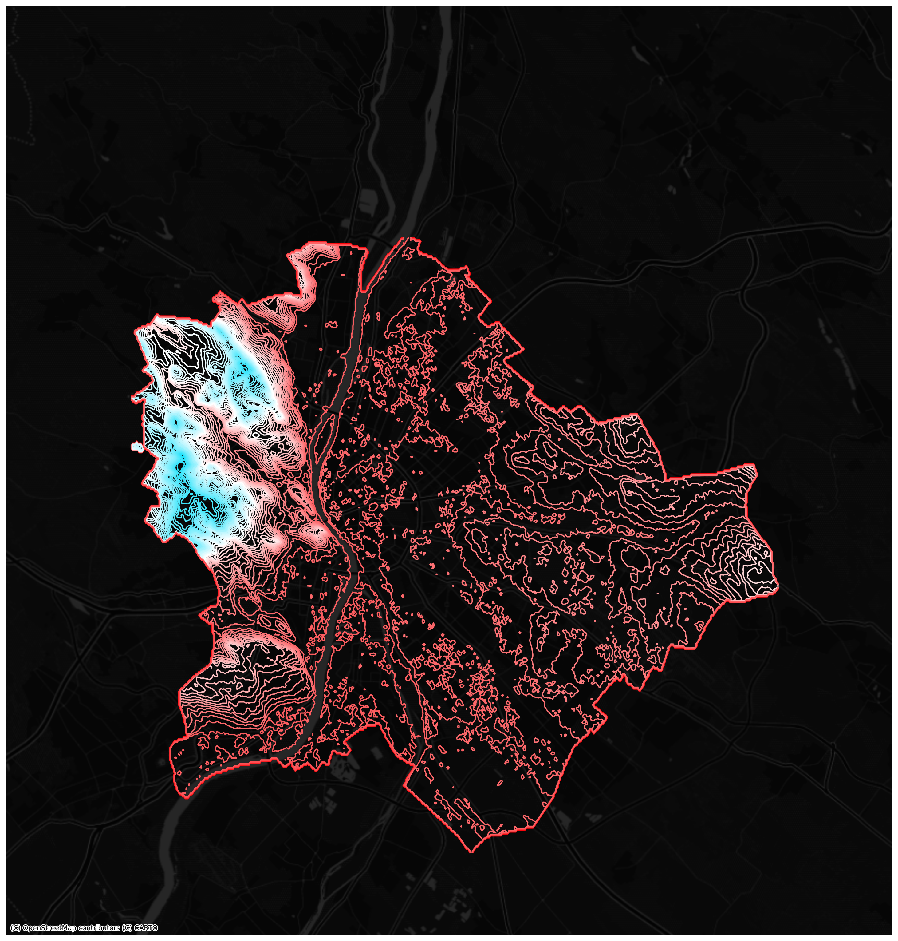
So now we are going minimal — and my minimalistic map is my all-time favourite, Budapest, especially its elevation contour lines collected from the Budapest Open Data Portal using a unique gradient color map. The map clearly shows how the Danube split the city in half, how plain the Pest side is on the right (at around 100m above sea level), and how the…