

River Maps in Python - Tutorial
Using global GIS data to create visualizations in Python - Free tutorial

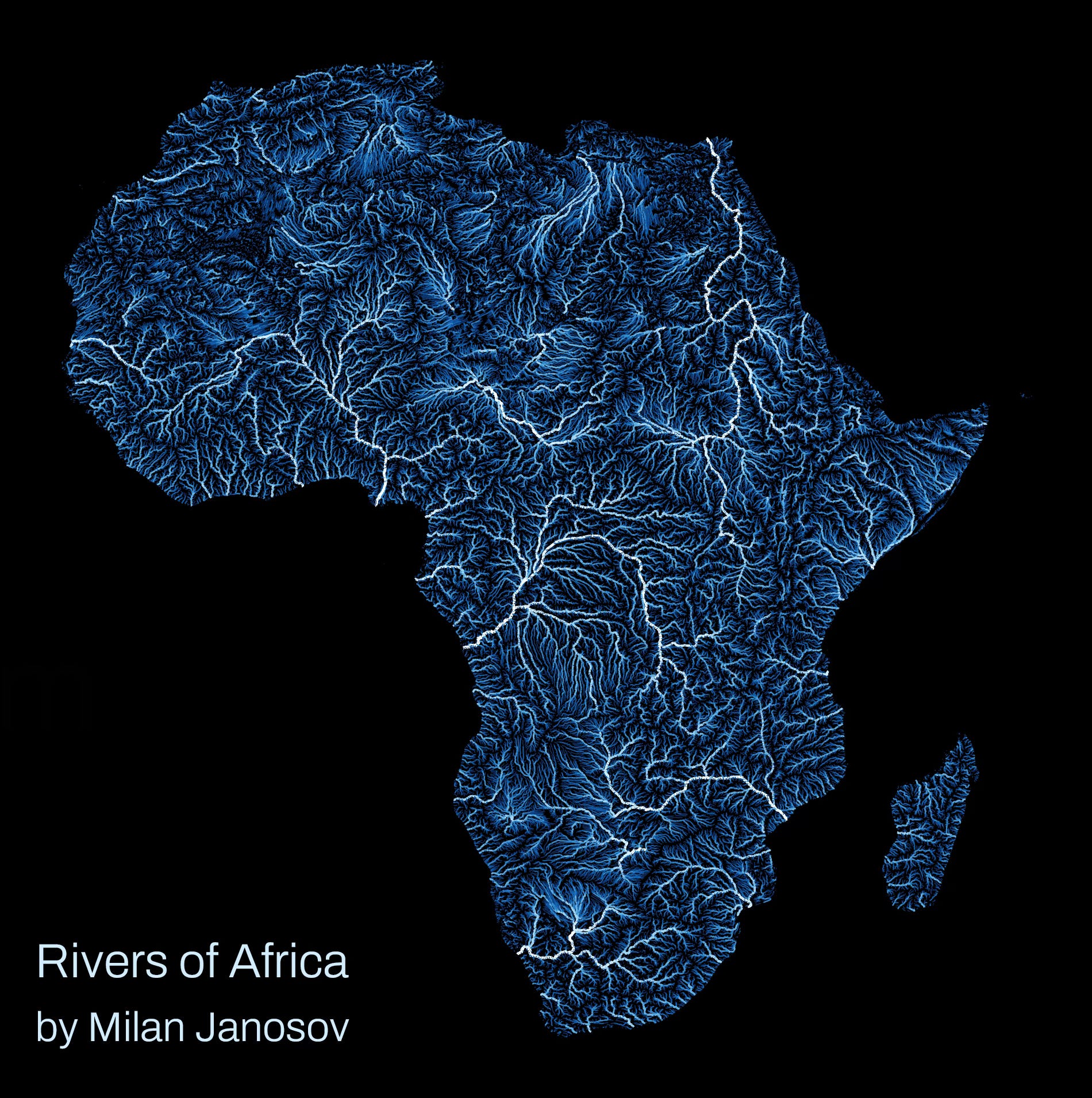
This quick post aims to give you a walk-through on how to visualize global river maps. As an example, I will use the continent of Africa, while the process is completely applicable to other continents as well, which you will also see in the final image collection.
So the data was published by the United Nations' FAO (for Africa and for other areas)
As fo…
