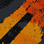
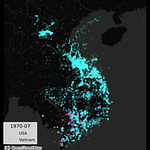
Using base-maps is a great way to provide more context to your geospatial data visualization, especially if the data set you study is placed in a dense urban setting. In this lecture, we will review how to incorporate such base-maps in your visualizations using Python.
𝐋𝐞𝐜𝐭𝐮𝐫𝐞 𝐯𝐢𝐝𝐞𝐨:
𝐅𝐮𝐥𝐥 𝐜𝐨𝐮𝐫𝐬𝐞: https://www.udemy.com/course/urban-analytics-with-python/?referralCode=2F3E1B0A821EF6047513


