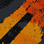
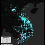
My new tool for the year was Cartopy, where I experimented with different map projections. A really nice way to create global maps with appropriate coloring, coastlines, and more!
Imports, data
import geopandas as gpd
import matplotlib.pyplot as plt
import cartopy.crs as ccrs
import cartopy.feature as cfeature
import matplotlib.pyplot as plt

# Load the c…


